
LOCAL ROUTE JOURNAL · Hashimoto · Kinokawa
From Hashimoto Station to the Kinokawa: A Half-Day Following a Ferry Crossing’s Memory
Walk from JR and Nankai Hashimoto Station to the Toge Lantern and Kinokawa views. An1814 stone lantern recalls the former ferry crossing; return through public town streets.
From the interchange to a crossing’s memory
SLOW TRAVEL NOTES
The town before the crossing
Instead of changing trains straight towards Koyasan, step outside Hashimoto Station in Wakayama. This half-day follows town streets towards the Kinokawa River and the Toge Lantern. Its appeal is not a checklist of grand attractions: it is the memory of people crossing the river, still visible in a small monument and the town’s name.
Check the return train before setting off, then give ordinary streets a little time. The10:00–14:00 plan is editorial, not a railway timetable. Shorten the river stop according to weather and access notices; the walk works without entering the riverbed.
The day at a glance
The route, step by step
Hashimoto Station, Wakayama
Check return trains at Hashimoto
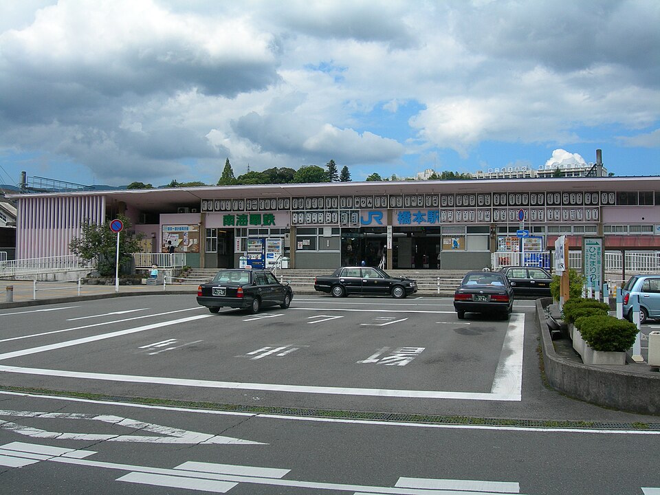
The city lists JR Wakayama Line and Nankai Koya Line Hashimoto as public-transport entrances. This is Wakayama, not another same-named station. Check the return train first. The10:00–14:00 outline is editorial; the station photograph dates from2008, not evidence of current facilities or trains.
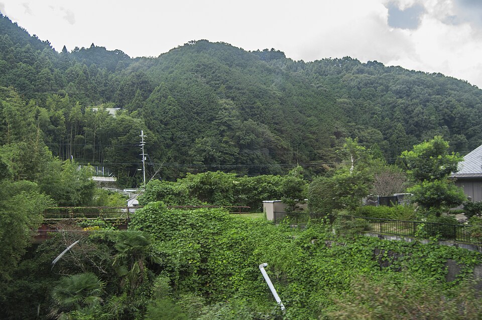
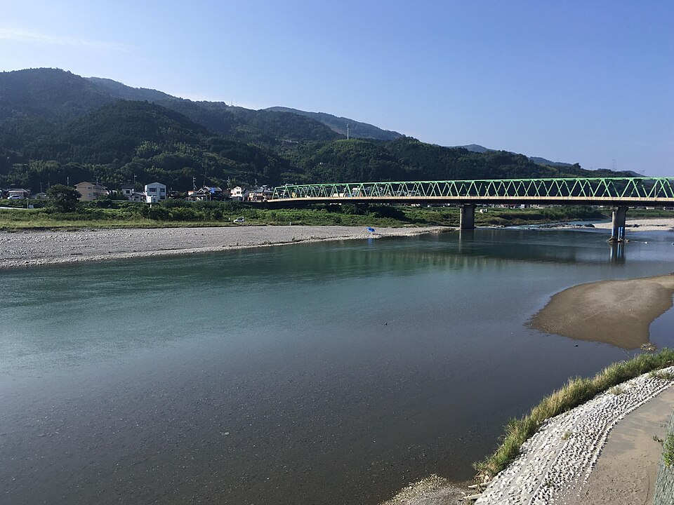
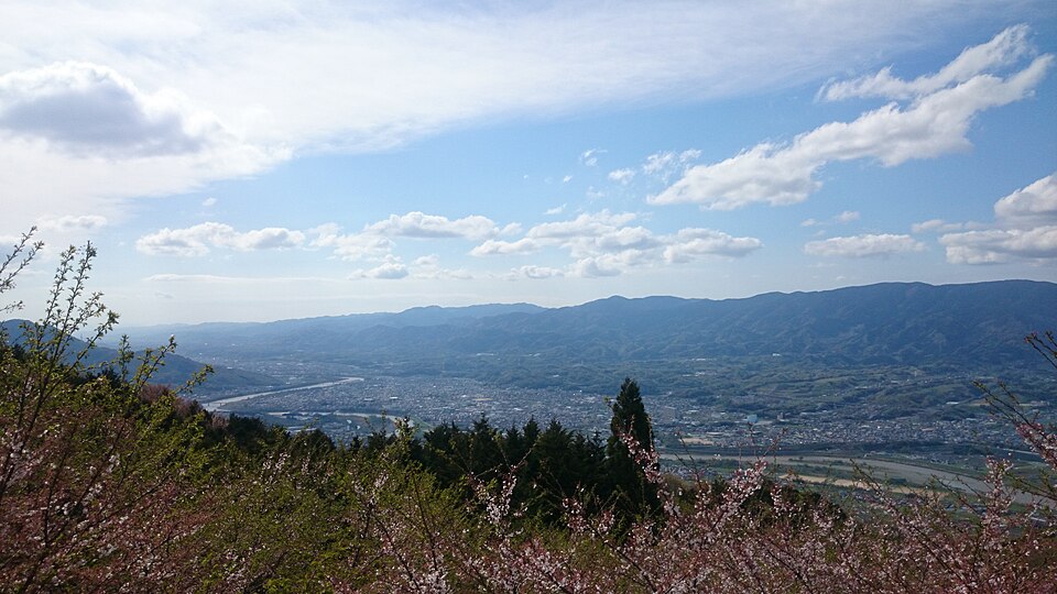
Photos show historical river and station views, a higher town panorama and greenery seen from the Nankai Koya Line. The panorama viewpoint and trackside vegetation are not stops; no lantern photograph is shown. The green bridge in the river image is not the red Nankai railway bridge.
View on mapPublic town streets
Walk towards the river through town
Find the lantern’s current location on the map and follow public roads and pavements.30minutes includes editorial wandering, not an official walking time. The city attributes the Hashimoto name to Ogo’s bridge across the river. Keep homes, workshops and residents’ paths clear.
View on mapToge Ferry-Crossing Lantern
Look at the Toge Lantern
The Toge Ferry-Crossing Lantern recalls the boat crossing. The city’s cultural-property record says it was built in1814 and moved to its present position in2013 during river works. Look without climbing or rubbing the stone. Follow notices; this is a short daytime exterior stop, not a promise of a paid attraction or night illumination.
View on mapSafe public roads overlooking Kinokawa
View the Kinokawa from safe public paths
The Kinokawa flows from Nara through Wakayama to the Kii Channel. View it from safely accessible public roads or pavements; descending to the water is not essential. Turn back at rain, high water, works or closure notices.45minutes is editorial, not proof that a particular riverside path is always open.
View on mapTown streets towards Hashimoto Station
Return through town streets
Return through the town, leaving space for the train. The photographed higher panorama and trackside greenery are background images, not extra stops.45minutes is editorial flexibility; shorten it if tired or weather worsens. Do not stop to photograph on crossings or in the road.
View on mapHashimoto Station neighborhood
Lunch and departure near the station
Choose a business open that day near the station or on the way home. Food/drinks JPY1,500–3,000 is editorial; rail, shopping and activities are extra. No named restaurant, seat or menu is promised. Hours, closures, prices, menus and activities can change: check current official information before departure.
View on mapTravel notes
What to notice along the way
A riverside town beyond the station
Start from JR or Nankai Hashimoto in Wakayama.
An1814 stone lantern
Read a former ferry crossing through one monument.
Keep the river view safe
Riverbed access is not required.
EDITORIAL NOTE
The town before the crossing
Read Hashimoto as more than a station name. The city attributes its name to the bridge that Ogo built across the Kinokawa. Approaching the river changes an interchange into a town shaped by crossing.
Estimated budget
Estimated budget
JPY · 10:00–14:00 editorial; food/drinks JPY1,500–3,000. Rail, shopping and activities extra.
Hours, services, prices and access can change. Check the latest information before you go.
Official information
Sources and further information
- Hashimoto City: Kinokawa
- Hashimoto City: Ogo
- Hashimoto City: Toge Lantern
- Hashimoto City: official tourism site
- Photo: Christophe95 / CC BY-SA 4.0
- Photo license: CC BY-SA 4.0
- Photo: Rsa / CC BY-SA 3.0
- Photo license: CC BY-SA 3.0
- Photo: Yae Yamamoto / CC BY-SA 4.0
- Photo: jillllybean / CC BY-SA 2.0
- Photo license: CC BY-SA 2.0
Hours, services, prices and access can change. Check the latest information before you go.